The Jubilee Trail – Cranborne to Pentridge Hill … Walk Number Two
The days seem to go so quickly that I find to hard to believe that a month has passed since I took my first steps along the Jubilee Trail. You can read about Walk One here.
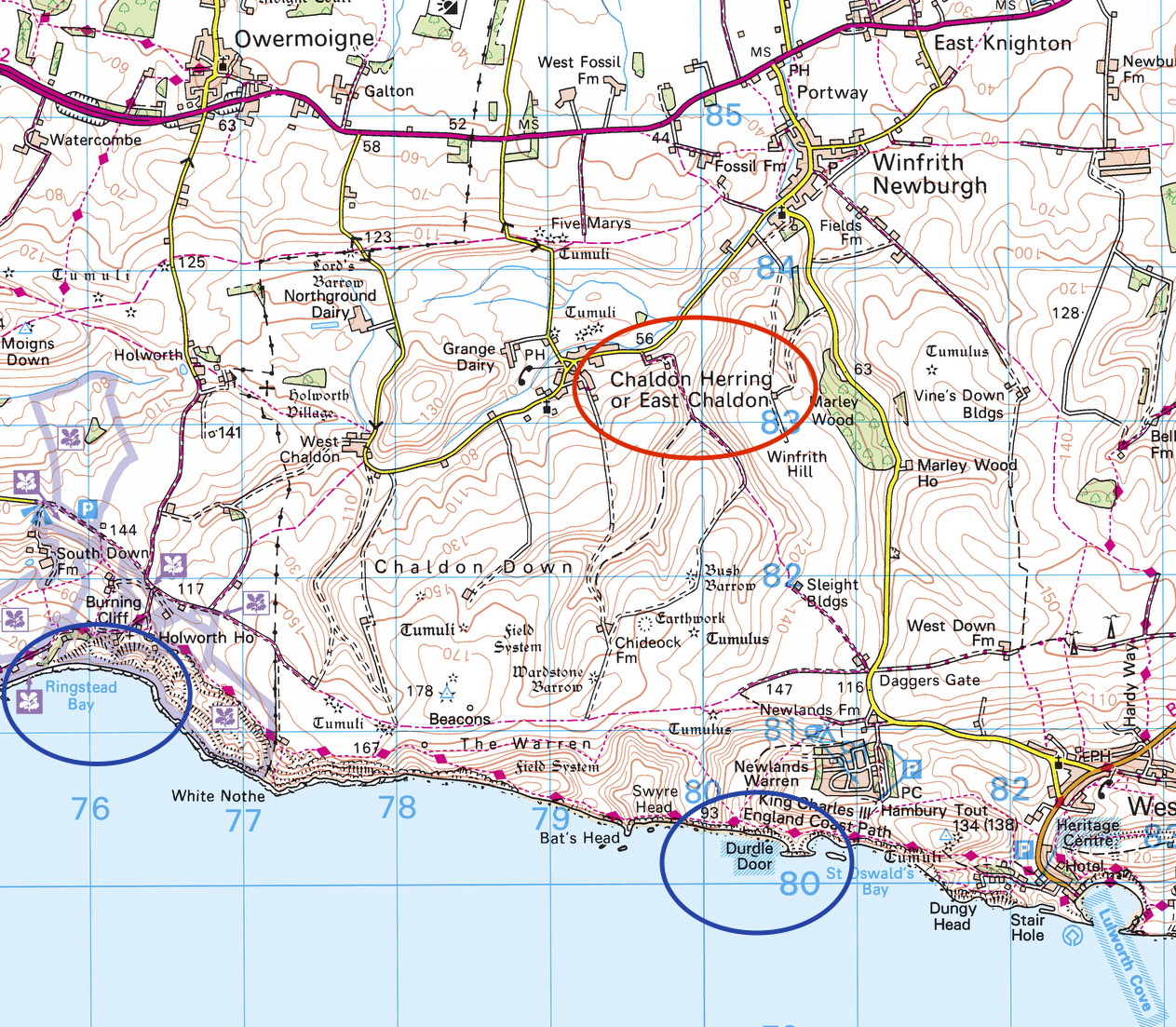
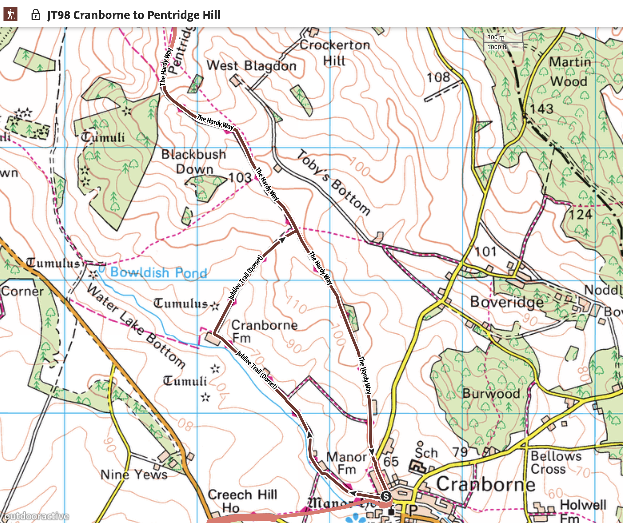
I decided for my second planned walk that I would effectively continue where I left off, albeit that I would be starting in Cranborne, walking out to Pentridge Hill and returning along the Hardy Way back to the village – a distance of 5.2 miles. I am fully aware that in walking terms this isn’t very far but as I mentioned in the first post I want to take time to absorb and appreciate the landscape as well as finding compositions and releasing the shutter to record what I see.
In many ways these posts, and there will be 32 in total, are as much a travelogue and as they are a photographic experience. Given I have only just completed the second walk it may well take me a year or more to finish the 90 mile trail!
I left the village of Cranborne at precisely 10 o’clock just as the church bells chimed on the hour, and for a short time they drowned out the bird song coming from the trees around me. The sun shone which was in stark contrast to the previous day which had been wet. After all the rain, the gravel path made for good walking but I anticipated there would be muddy sections somewhere along the route.
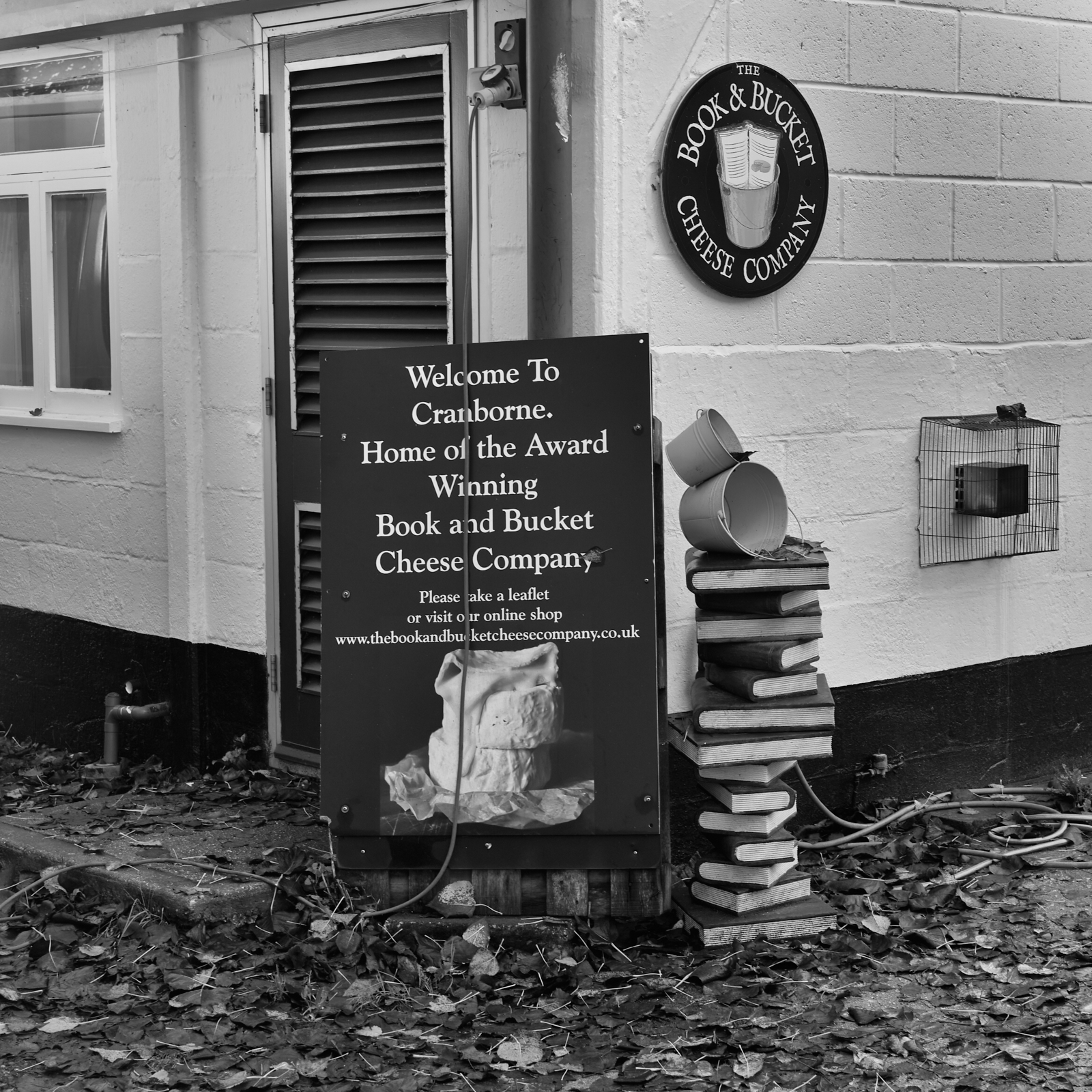
I soon reached Manor Farm and couldn’t help but notice the signage for The Boot and Bucket Cheese Company. I am a big fan of cheese and I had not come across this artisan food-maker before, so I made a mental note to go on their website when I returned home. I knew it wouldn’t be very long before one or two of their products would be on a plate with complementary biscuits and a glass of red wine.
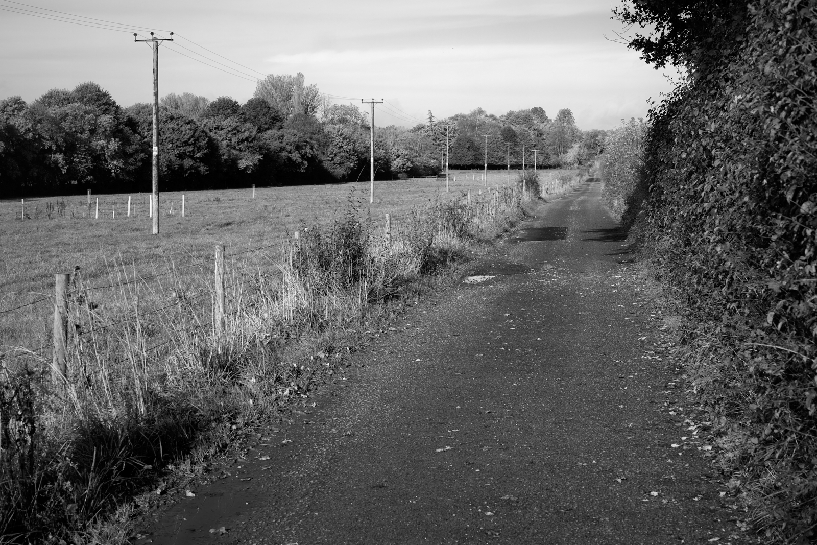
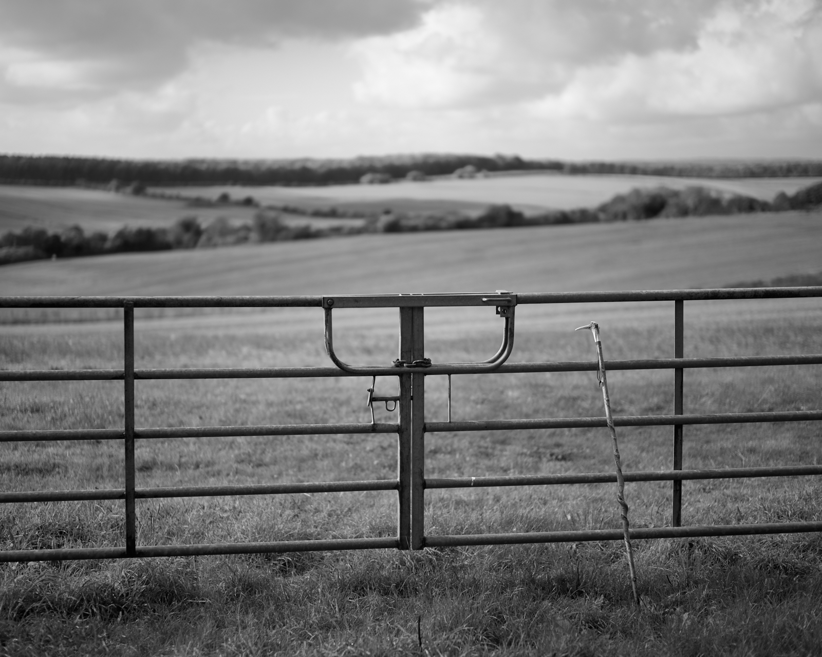
I passed Manor Farm and the gravel track gave way to tarmac. A surprisingly well maintained road given it only served Cranborne Farm ahead. Two people appeared in front of me, grey hair, one stick and the ubiquitous black labrador. I soon overtook them, said good morning as I did so, and continued along the trail. Pasture land lay to my left, a post and wire fence preventing the curious cattle escaping, telegraph poles as far as my eye could see and a flock of maybe seven or eight white wagtails for company.
Heading north west the mid morning sun was directly behind me and my long shadow led the way. I turned to see if I was still being followed but the two dog walkers must have turned around, continued putting the world to rights, as they made there was back to Cranborne.
After 35 minutes and 1.3 miles, I turned right at Cranborne farm, still on the Jubilee Trail, and began a gentle ascent. I had chosen another beautiful, dry autumnal day and the temperature was rising. I had packed a waterproof jacket, but I was convinced it wouldn’t be required. In fact it wasn’t long before my gilet joined the waterproof in my backpack and I was down to a single layer. Neither saw the light of day until the end of the walk. I couldn’t have wished for better conditions.

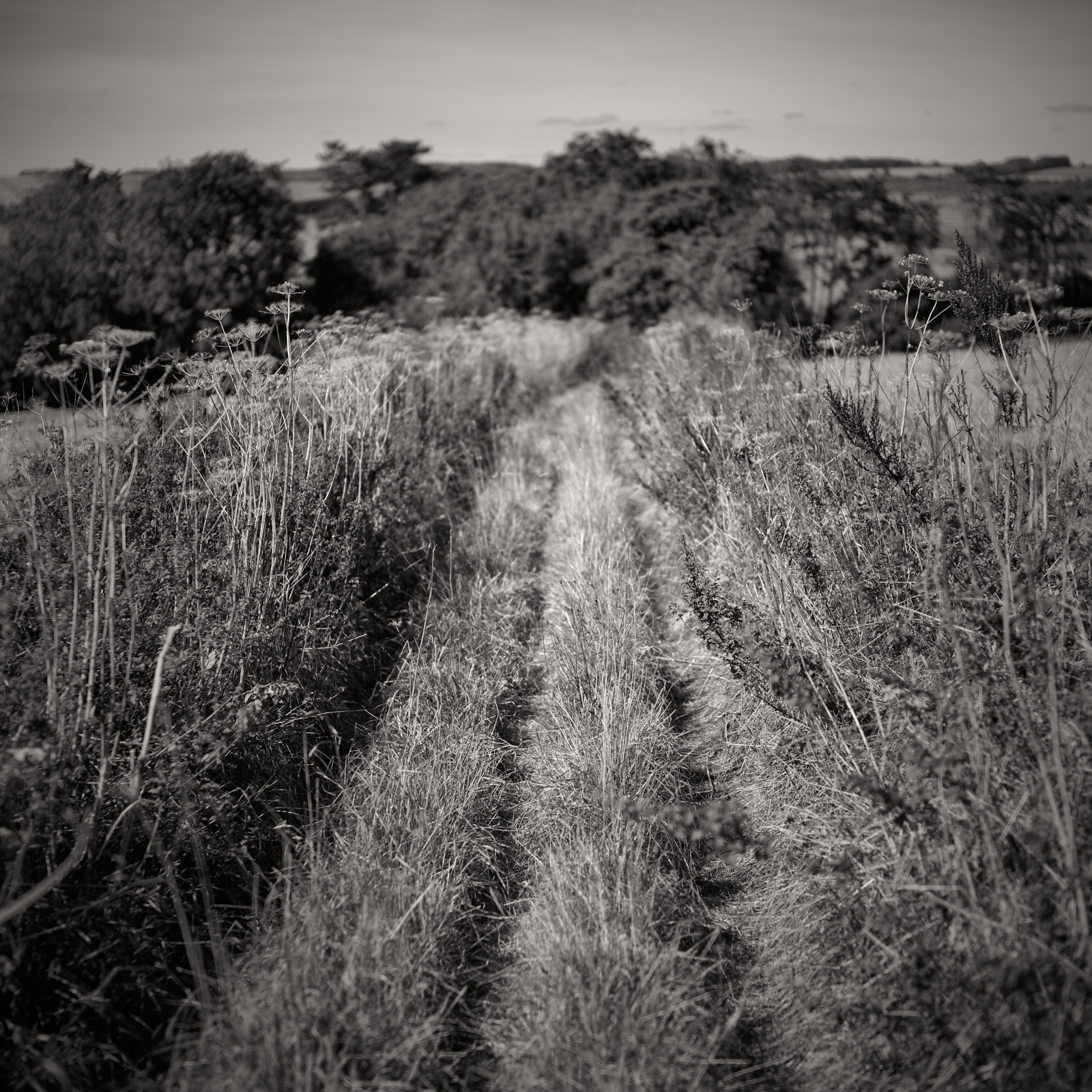
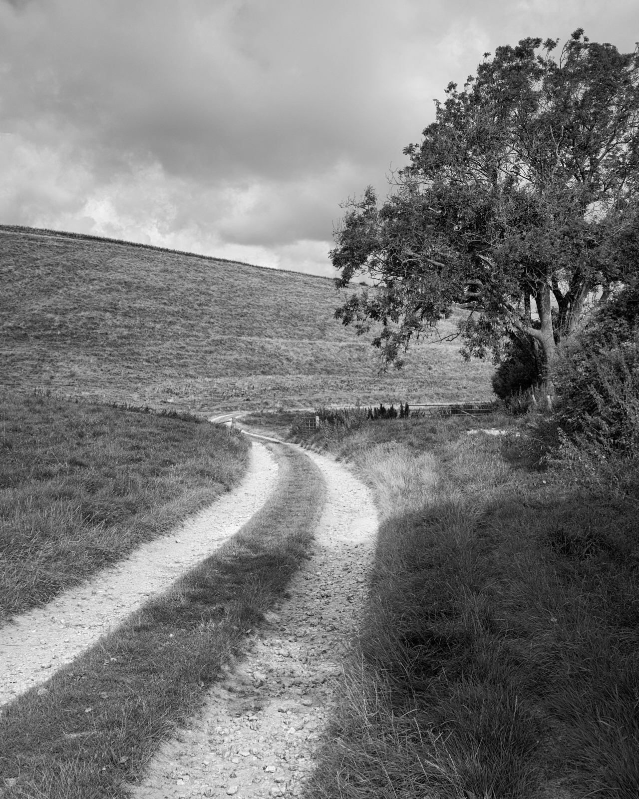
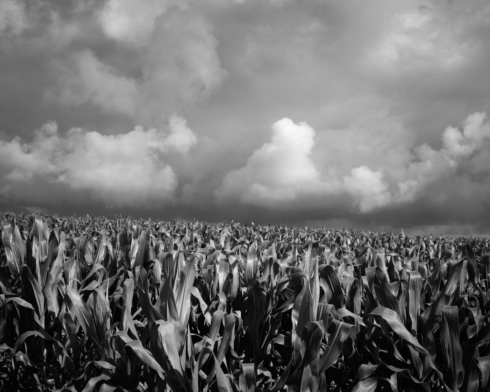
Leaving the farm behind me, tarmac had been replaced by a typical farm track, with tractor ruts either side of a wet grass central reservation. Lined by hedges which are great for wildlife but they did mean my view of the surrounding countryside was inhibited. Although there were some muddy sections, the ground was surprisingly good given how wet it had been recently. I felt for all arable farmers who must have had a very difficult time bringing in the harvest and would now be struggling to plough and cultivate the land ready for seed drilling and next year’s crop.
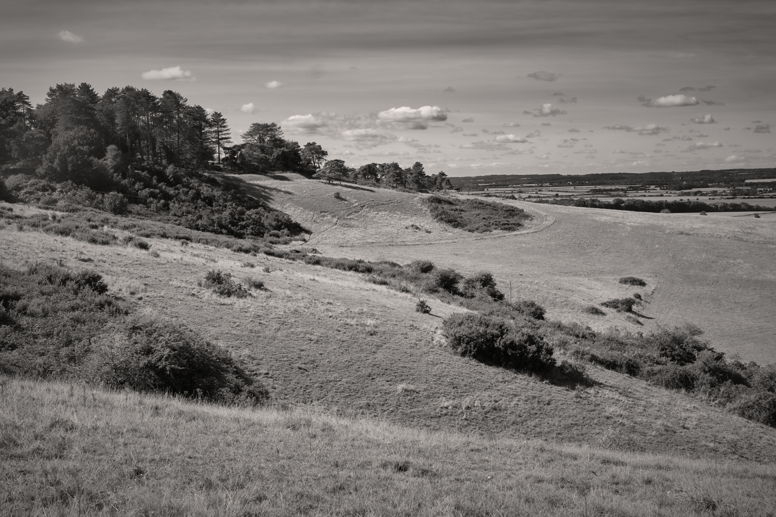
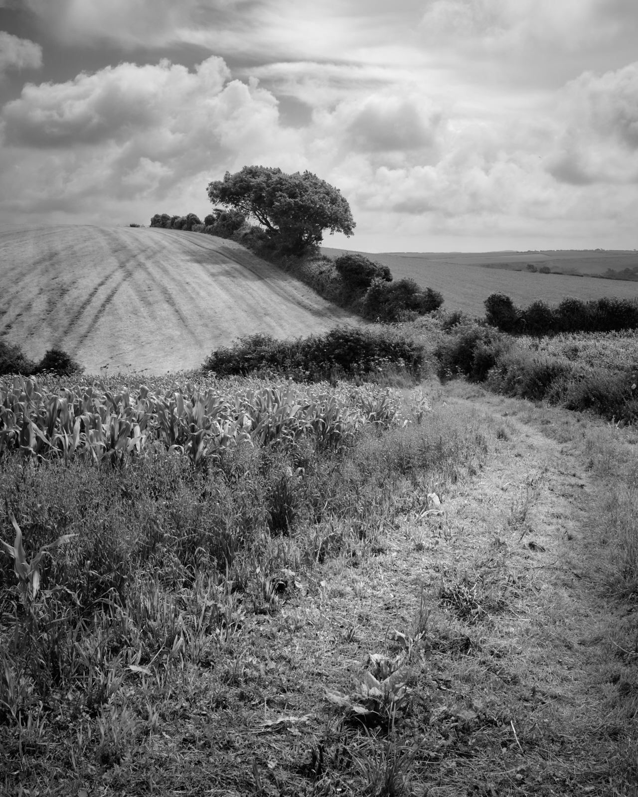
Every so often, the sun would give advanced notice of a gap in the hedgerow and the hidden landscape would be revealed. At one point I could see Penbury Knoll, which I had visited in ‘Walk One’ although I wouldn’t be going quite that far today. This route would take me to the lower slopes of Pentridge Hill where I would turn round and head back to Cranborne. The path was nearly all uphill from now on. The good news is that it would be all downhill on the way back.

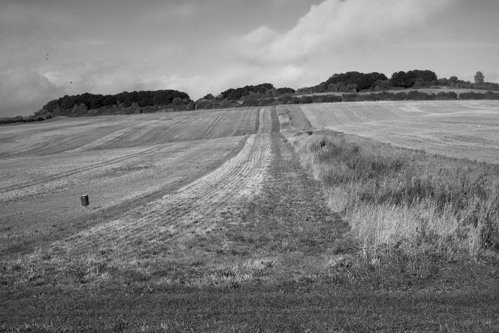
Although I had yet to see or hear any pheasants, it was evident that sections of the farmland would be used for game shooting. Strips of land had been left for cover and there were many pheasant feeders dotted around the fields. Game shooting divides opinion but for those in favour it does generate another income stream for landowners and gamekeepers.
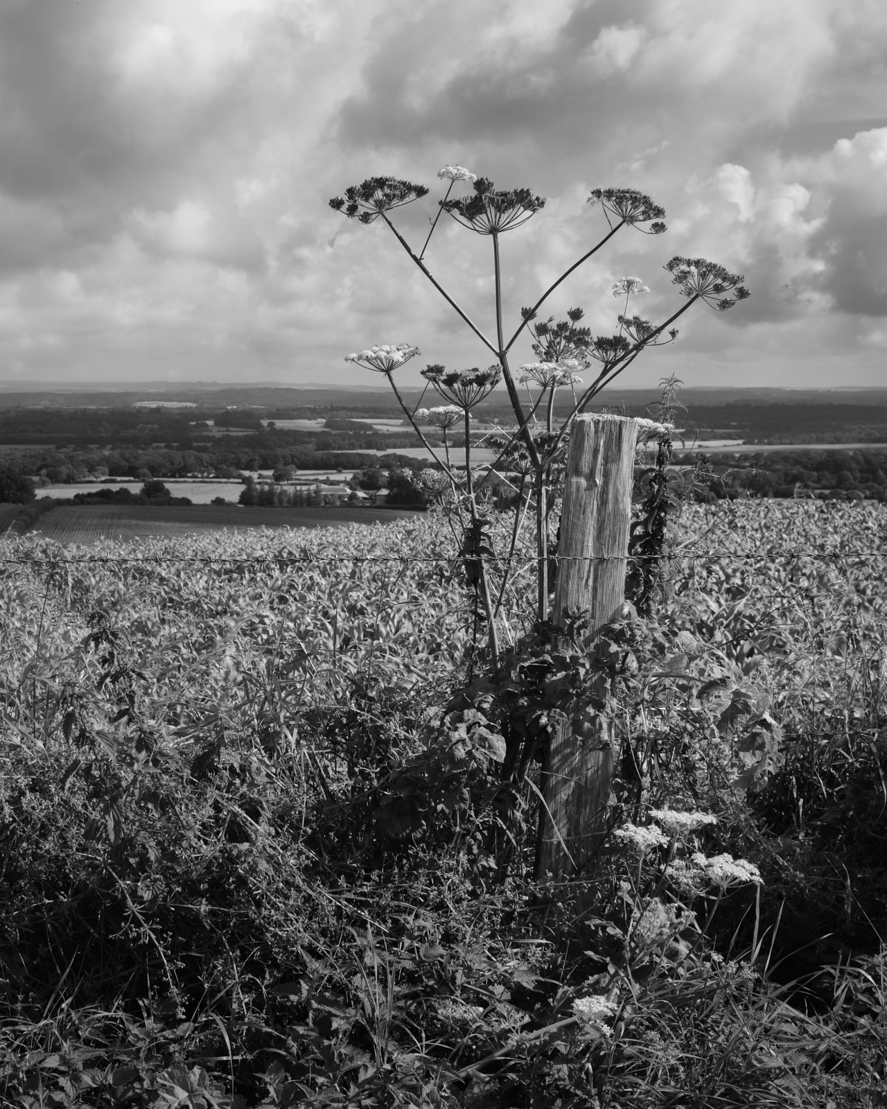
I arrived at my next turning point. It was marked on the map as Jack’s Hedge Corner. I enjoyed a good view of the countryside and then realised from looking at the map that I was looking down on Toby‘s Bottom. ‘Oooh Matron’ I said to myself, which will only make sense to those of you who are familiar with Kenneth Williams and the ‘Carry On’ films of the 1960’s and 70’s. Joking aside these are names which are surely linked to people from the past, in particular Jack as there were hedges in all directions.
I stopped to take a few pictures and as I made my way up the hill I thought I could hear voices. My hearing isn’t perfect but the voices got louder and it wasn’t long before I knew that my ears hadn’t been deceiving me, as a group of retired ramblers came into view. A few moments earlier I had only been thinking how this had felt like a quiet place of solitude negating any need to go to places like Scotland and the mountains. I could escape people here in my home county. The ramblers had broken the silence of nature and place, and selfishly I hoped they would be continuing their walk along a different path. I pressed on to put some distance between me and them. I make no apology but I prefer to be on my own.

The slopes of Pentridge Hill lay ahead and a buzzard flew over Blackbush Down. As it turned, the underside of its wings were caught in sunlight, revealing the beautiful pattern of its feathers. The distinctive mewing and screeching on the wing echoes the sound of a cat like call. It circled out of view, its cry falling away in volume as it did so.
Apart from the bird of prey calling there were no more voices to be heard; I assumed they must have turned right at Jack’s Hedge Corner and I rambled off in the opposite direction.
After an hour and 35 minutes I had covered 2.9 miles, and had arrived at the point which I had left the Jubilee Trail a few weeks ago. It was time to turn round and retrace my steps taking in the view across Cranborne Chase. Before doing so I reached into my bag for a drink and half a sandwich, something to refresh me. It was only 11.40am so too early for lunch and I envisaged having the rest back in the village followed by a flat white and maybe a slice of cake at the Cranborne Garden Centre by way of a treat.

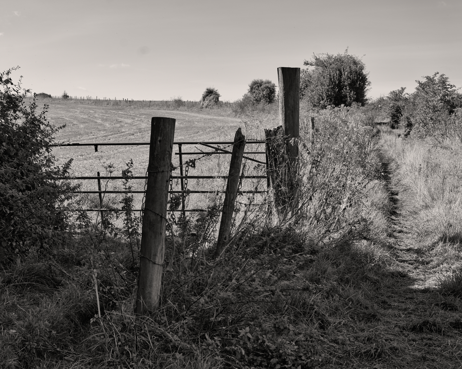
I soon arrived back at Jack’s Hedge Corner. By then the sun had moved round and was now illuminating the gate post which made for a much better composition.

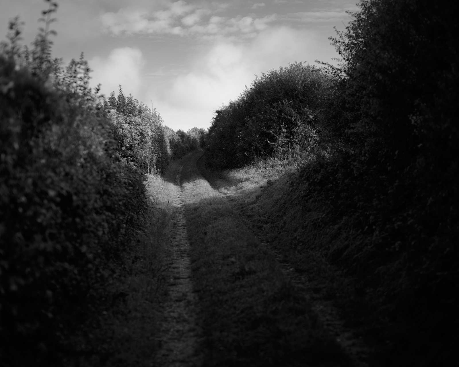
This was also the junction to continue straight ahead and follow Hardy’s Way back to Cranborne. ‘Jack’ had without question been very active as the path was lined by tall hedges on both sides of the track and for long sections any view was completely obscured. However I was grateful the sun was still shining, but in some respects I was now looking forward to the end of the walk.

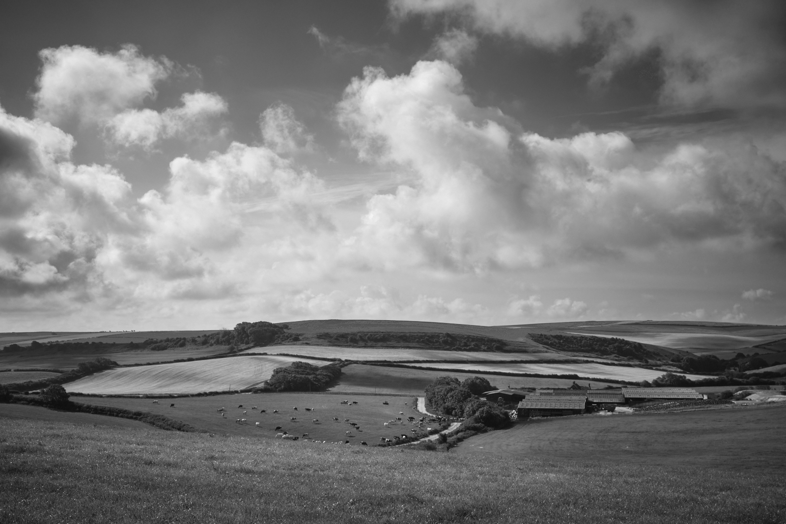
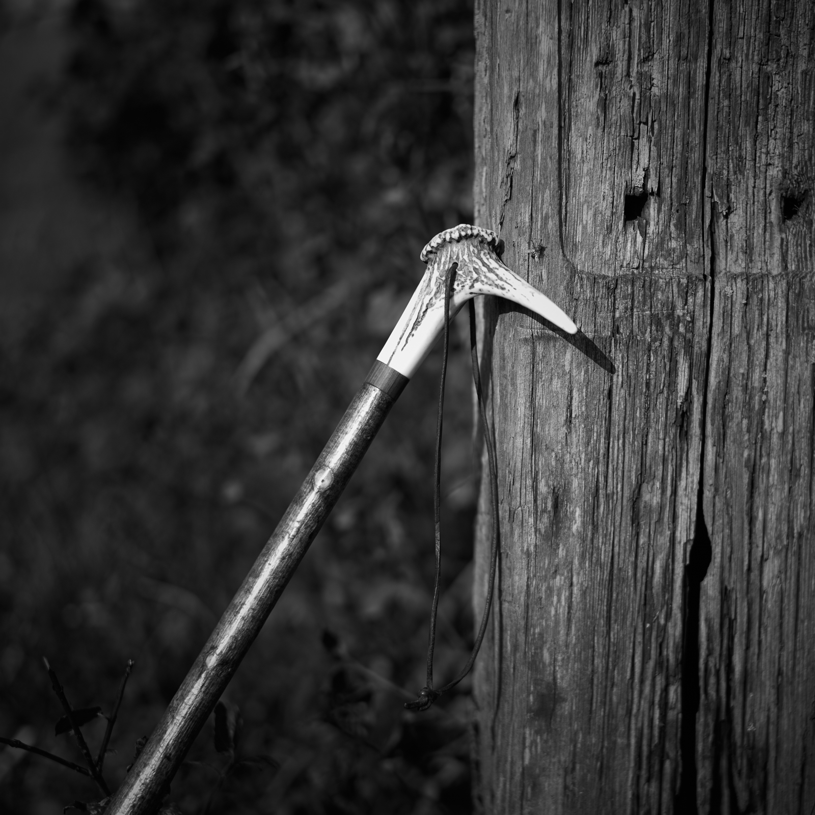
As I descended I had rather hoped there might be a view of the village, perhaps even the church tower but it was not be. Thinking the tall hedgerow would be a permanent fixture for the rest of the walk I was pleased when I came across a pair of double gates to my right and the countryside I had been missing for the past half a mile or so suddenly came into view. I stopped, rested my hiking stick against the gate and admired the scenery. I heard the buzzard again but this time it wasn’t visible, but there was no mistaking its call.
It was at this point that I gave some thought to the camera equipment I had in my bag. My Leica SL and 50mm Summilux lens was all I had used. I had three other prime lenses so why was I carrying all of them? I guess there will be times when I will resort to using them but for the majority of images 50mm is all I need. It is though something to consider for future walks.
The bridleway returned to tarmac once again so I knew the village and the end of the walk couldn’t be that far away. I reached a road and on the corner a finger post confirmed what I already knew; the car would be in sight very shortly and lunch would be my reward.

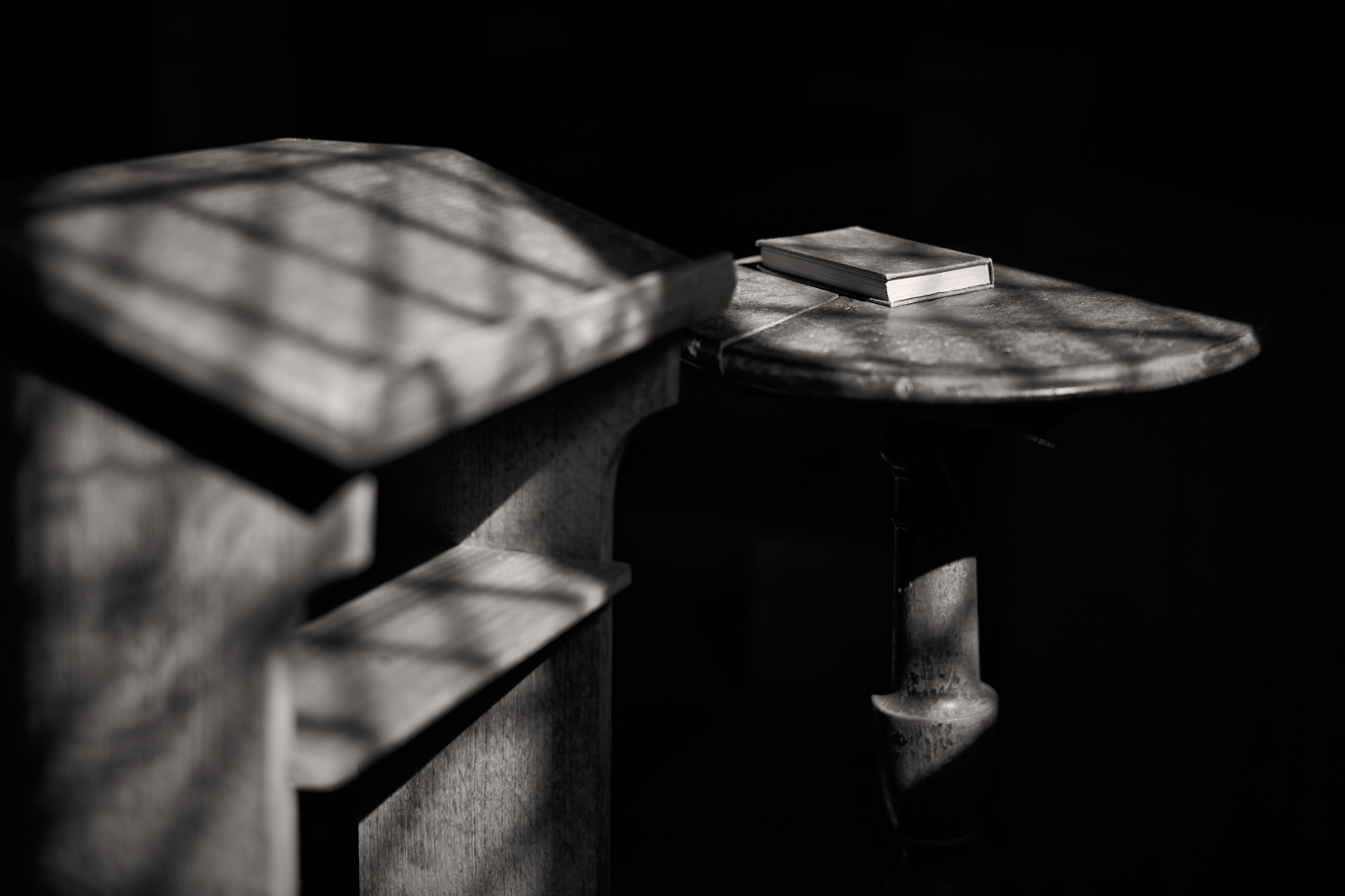
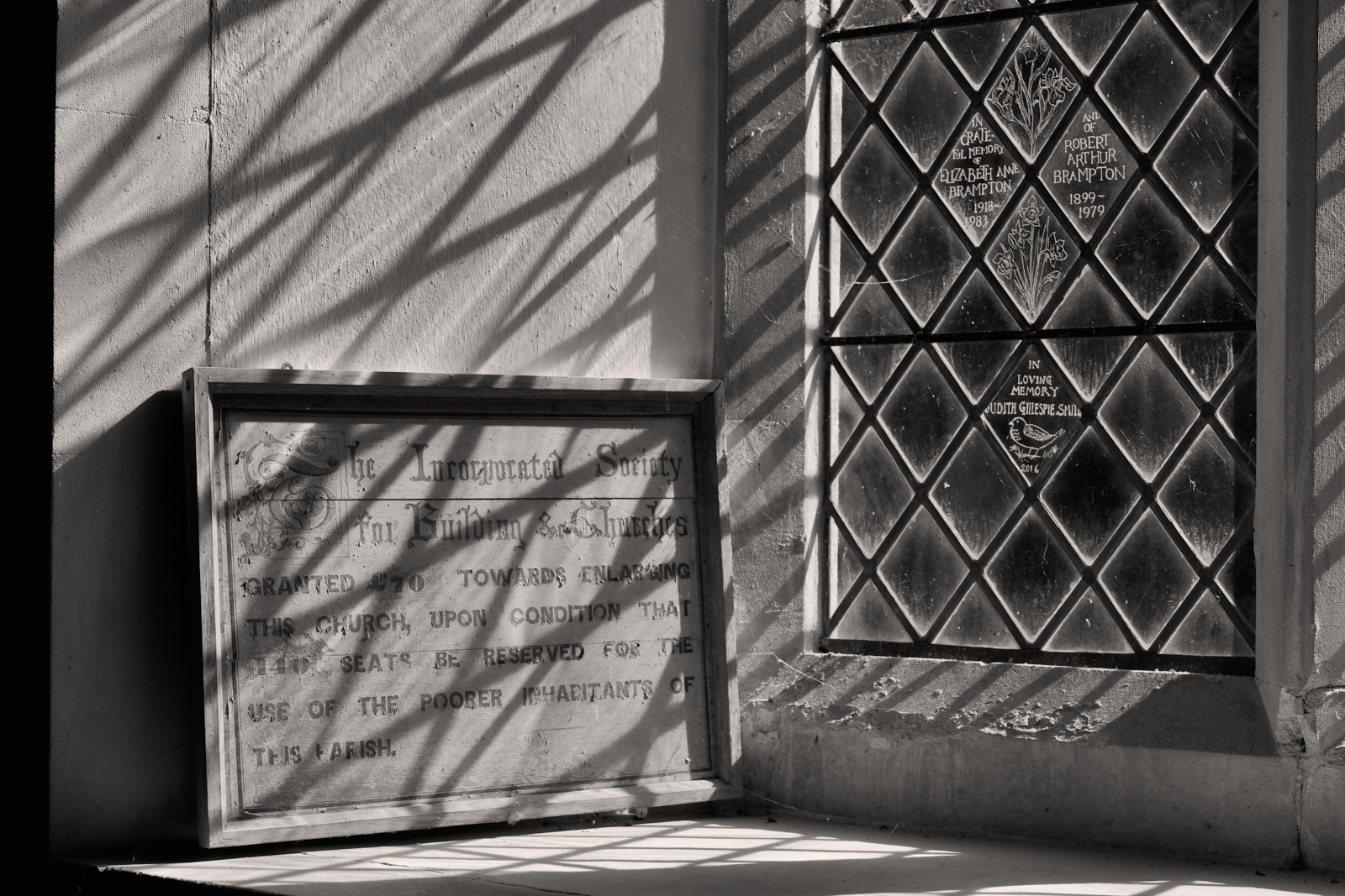
It’s just before 1 o’clock and I’m back where I started; 5.4 miles according to the App on my iPhone. Before heading to the cafe there was one more place to visit – the church of St Mary and St Bartholomew. There were only a few spaces to park outside the church and a ‘no parking’ cone immediately by the church gate reduced the number of options. A small pick up took up another space with its driver sitting behind the wheel.
I approached the church but unfortunately it was closed for the day. A notice on the door informed me that a funeral was due to take place. This made sense of the parking cone and I could only conclude the grave digger was waiting to complete his work after the service had finished.

As I drove to the cafe the vicar was walking to the church with a small black leather case in his hand. There were two mourners in traditional dark attire at the garden centre filling time over a drink and I suspect retelling tales of the dearly departed. A sombre end to the day but a reminder how grateful I am to be alive, to walk, to see and to hear the beauty of God’s creation which I had witnessed that morning.
I left the garden centre at 2pm and heard the church bells chime again.